Monday, 25 July 2011

VANOISE NATIONAL PARK (July 2011)


The Graian Alps (Italian: Alpi Graie; French: Alpes Grées) are a mountain range in the western part of the Alps. They are located in France (Savoie), Italy (Piedmont and the Aosta Valley), and Switzerland (western Valais).


The Col des Montets separates them from the Chablais Alps; the Col Ferret and the Dora Baltea valley separate them from the Pennine Alps; the Col du Mont Cenis separates them from the Cottian Alps; the Arc valley separates them from the Dauphiné Alps.


The Graian Alps can be divided into four groups:
the Mont Blanc group (north of the Little St Bernard Pass)
the Central group between the Little St Bernard Pass and the Col du Mont Cenis
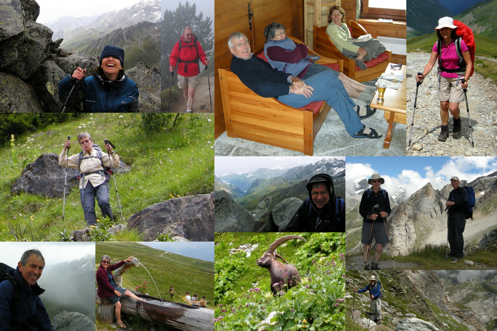
the Western or French group, contains the Vanoise National Park
the Eastern or Italian group, contains the Gran Paradiso national park.

The French side of the Graian Alps is drained by the river Isère (Tarentaise valley) and its tributary Arc (Maurienne valley), and by the Arve. The Italian side is drained by the rivers Dora Baltea, Orco and Stura di Lanzo, tributaries of the Po.

Vanoise National Park (French: Parc national de la Vanoise), is a French national park in the Tarentaise Valley in the French Alps, created in 1963 after mobilization from the environmentalist movement against a touristic project. It was the first French national park. This park is in the département of Savoie. Little villages like Champagny-le-Haut, Champagny-le-Bas, La Chiserette, La Cuaz, Le Bois, Friburge and Séez are near this park.

The park is bordered by several large French ski resorts (Les Trois Vallées, Tignes, Val-d'Isère, Les Arcs, La Plagne).

On the Italian side of the border, the park is continued by the Gran Paradiso National Park. Together, these two parks cover over 1250 km².


The park is well-known for its population of Alpine ibex (Capra ibex), bouquetins in French. Other than Alpine ibex there are Chamois, Alpine Marmot, Eurasian Lynx, Mountain Hare and Stoat. Birds include Bearded Vulture, Golden Eagle and Black Grouse.

Monday, 13 June 2011

THE BRECON BEACONS (June 2011)


The Brecon Beacons (Welsh: Bannau Brycheiniog) is a mountain range in South Wales. In a narrow sense, the name refers to the range of popular peaks south of Brecon, including South Wales' highest mountain, Pen y Fan, and which together form the central section of the Brecon Beacons National Park (Parc Cenedlaethol Bannau Brycheiniog). The name is also commonly used to refer more broadly to the entire national park which includes ranges both to the east and the west of the central Beacons.


The highest of these is Pen y Fan (886 m); other notable summits include Corn Du (873 m), Cribyn (795 m), and Fan y Big (719 m). These summits form a long ridge which forms a horseshoe around the head of the Taf Fechan river to the south-east, with long parallel spurs extending to the north-east. The round of the Taf Fechan skyline forms a popular ridge walk commonly known as the 'Beacons Horseshoe'. Many other fine walks exist in this part of the National Park.


The Brecon Beacons are said to be named after the ancient practice of lighting signal fires (beacons) on mountains to warn of attacks by the English.


The Brecon Beacons National Park was established in 1957, the third of the three Welsh parks after Snowdonia in 1951 and the Pembrokeshire Coast in 1952. It stretches from Llandeilo in the west to Hay-on-Wye in the east, covering 519 square miles (1344 km², 332 100 acres) and encompassing four main regions - the Black Mountain in the west, Fforest Fawr (Great Forest) and the Brecon Beacons in the centre, and the confusingly named Black Mountains in the east.
Most of the National Park is bare, grassy moorland grazed by Welsh mountain ponies and Welsh mountain sheep, with scattered forestry plantations, and pasture in the valleys.


It is known for its remote reservoirs, waterfalls including the 27-metre Henrhyd Waterfall and the falls at Ystradfellte, and its caves, such as Ogof Ffynnon Ddu. The Brecon Beacons Mountain Centre was opened in 1966 to help visitors understand and enjoy the area.


Due to its remoteness and harsh weather, the Park is used for military training. The Special Air Service (SAS) holds demanding selection training exercises here such as an exercise called the Fan dance.

Tuesday, 31 May 2011

ROCK CLIMBING - BOX BAY (May 2011)


. South Wales Mountaineering Club - Box Bay
Box Bay, Porthcawl is about 500 – 600 metres south east along the coast path from Rest Bay (car park), it has excellent solid rock for the majority, but a little looser on the right towards the overhangs.

Climb approx 4 hours either side of low tide. The rock dries very quickly and is a lovely warm suntrap, but can be windy at the top.

The use of old or older rock shoes is recommend as the rock is very sharp and destroys the soles, its aspect makes it an excellent area for SPA training and/or assessment, great for beginners.

Wednesday, 20 April 2011

MOUNTAINS OF MADEIRA (April 2011)


Madeira is 400 km north of Tenerife, Canary Islands, in the north Atlantic Ocean and an outermost region of the European Union.[4] The archipelago comprises one of the two Autonomous regions of Portugal (the other being the Azores located to the northwest), that includes the islands of Madeira, Porto Santo, the Desertas and the Savage Islands.


Madeira was re-discovered by Portuguese sailors in the service of Infante D. Henrique (Henry the Navigator) in 1419, and settled after 1420. The archipelago is considered to be the first territorial discovery of the exploratory period of the Portuguese Age of Discovery.


The island of Madeira is at the top of a massive shield volcano that rises about 6 km (3.7 mi) from the floor of the Atlantic Ocean, on the Tore underwater mountain range. The volcano formed atop an east-west rift in the oceanic crust along the African Plate, beginning during the Miocene epoch over 5 million years ago, continuing into the Pleistocene until about 700,000 years ago.


It has a mountain ridge that extends along the center of the island, reaching 1862 metres (6,107 ft) at its highest point (Pico Ruivo). The primitive volcanic foci responsible for the central mountainous area, consisted of the peaks: Ruivo (1862 metre), Torres (1851 metre), Areeiro (1818 metre), Cidrão (1802 metre), Cedro (1759 metre), Casado (1725 metre), Grande (1657 metre), Ferreiro (1582 metre).


There are over 1,350 miles (2,170 km) of levadas and they provide a remarkable network of walking paths. Some provide easy and relaxing walks through beautiful countryside, but others are narrow, crumbling ledges where a slip could result in serious injury or death.


Two of the most popular levadas to hike are the Levada do Caldeirão Verde and the Levada do Caldeirão do Inferno which should not be attempted by hikers prone to vertigo or without torches and helmets. The Levada do Caniçal is a much easier walk, running 7.1 miles (11.4 km) from Maroços to the Caniçal Tunnel. It is known as the mimosa levada because mimosa trees are found all along the route.

Wednesday, 17 February 2010

ROCK CLIMBING IN MALAGA (Feb 2010)


Spent a week Rock Climbing in the area behind Villanueva del Rosario on El Corral, Los Pinos and Taco del Madera with a couple of climbs on Villanueva del Cauche.

Weather was great and quite warm, some Trad climbing, but also first introduction to Sport Climbing which I really enjoyed, it was good fun.

Excellent instruction and guidance by "The Rock Climbing Company", it offers adventurous mountain activities in Snowdonia and Spain. The company and courses are run by climbing instructor Silvia Fitzpatrick and they are supported by Simon Marsh.

Silvia Fitzpatrick is a Mountaineering and Climbing Instructor who has been climbing all over the world at a high level for more than 22 years. Simon is SPA qualified and head of climbing at DMM. He is also a director of the Ground Up which researches and publishes rock climbing guidebooks. For more infomation; Contact Silvia at http://www.rockclimbingcompany.co.uk/

Villanueva del Rosario is a small town off the motorway from Málaga to Granada and Seville.
The white washed pueblo sits at the base of the Cerro de la Cruz, with rolling countryside on the other three sides. Famous for the quality of its olive oil.